Environmental group maps herbicide use in N.B. forests, tells province to stop spraying protected watersheds


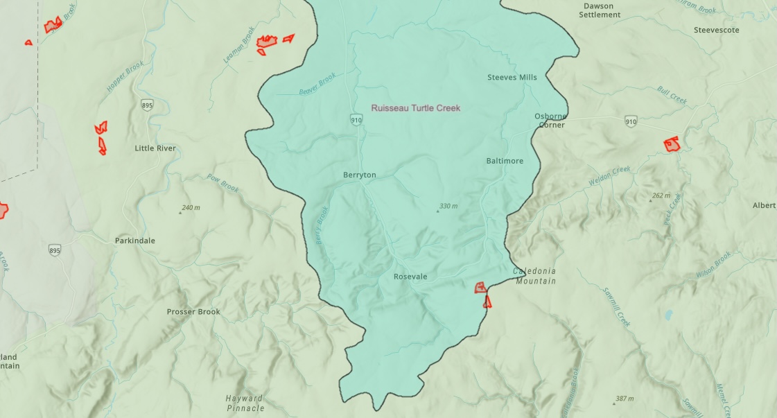
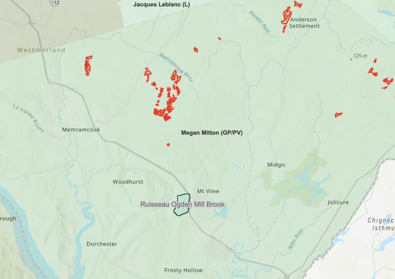
An environmental group has launched two online maps showing areas of forest that have been sprayed with herbicide or approved for herbicide treatment, including some sections of protected watersheds.
Sackville’s drinking water supply wasn’t directly targeted for herbicide spraying, at least last year, but the provincial government approved herbicide spraying by forestry giant J.D. Irving Limited on land a few kilometres north of that area, according to one map.
A volunteer from Stop Spraying New Brunswick pieced together the maps using publicly-available data from the provincial government. The group says the government should do a better job of making the information available, and the responsibility shouldn’t fall on the shoulders of a volunteer-run organization.
“If protected areas are being sprayed, I think the public has a right to know,” said Caroline Lubbe-D’Arcy, the group’s chair. CHMA has reached out to the Department of Environment and Climate Change for comment.
Listen to the interview with Caroline Lubbe-D’Arcy:
One of the maps shows areas of Crown land that have been treated with herbicide from 1969 up to the present date. Private land isn’t included because that data simply isn’t available, according to Lubbe-D’Arcy.
A second map shows areas of land where the government approved spray licenses during the 2022 spray season for both public and private forests. … Continue
